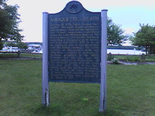
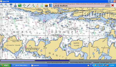
Meldrum Bay to Gore Bay

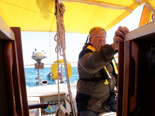
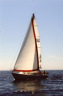
Meldrum Bay to Gore Bay 32NM After having had the rare cruising combo of a meal at a restaurant and hot showers the night before, we were all feeling fresh and ready to continue eastward. We left tiny Meldrum Bay at about 6am and quickly hoisted the sails for what was to be an excellent close reach all the way to Gore Bay. Winds were generally 10-15 knots, but gusted to 20 when we weren’t in the lee of the many points on Manitoulin Island’s north shore. The boat hurried along at between 6 and 7 knots and 20 degrees of heel for most of the ride. By this point , Island Bound’s crew now has their sea legs and we’re all quite comfortable with the rhythm of morning passages, afternoon explorations (either of an island or harbor) and evening fun (games, singing, fishing, etc.). We’re still surprised that there aren’t more cruisers out on the water. We only see about one or two boats a day, which is more than we saw while in Lake Michigan. The marinas remain less than full and the anc...